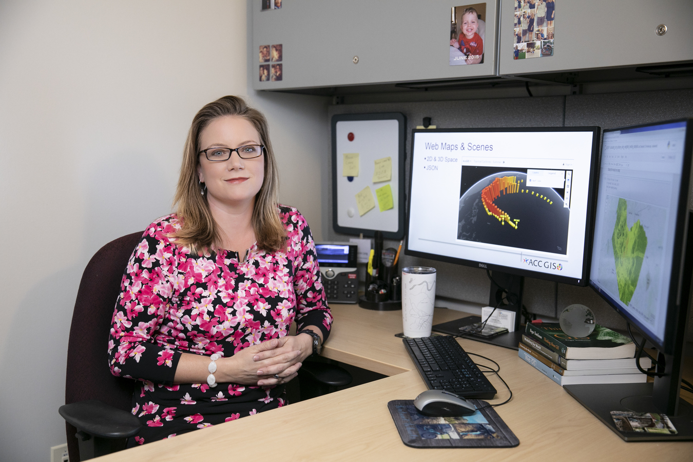
Faculty Spotlight: Stephanie Long

Stephanie Long has worked in the heat of the Mojave Desert and through a blizzard in Wyoming but, given the choice to work anywhere in the world, she would prefer to stay here in Austin.
"There are so many unique opportunities to contribute to the local community using geographic information systems (GIS), and I want to share that experience with my students," says Long, Austin Community College (ACC) GIS associate professor.
Long and her students this semester are working on a citizen engagement project with GIS data that was provided by Capital Metro. The students are developing a mobile GIS application to draw out detailed maps that will help bus riders get from one stop to another.
"It is real-world projects like these and the chance to prepare students for a successful career, that keep me excited about my position here at ACC," says Long, who started her education at a two-year college and had a goal of teaching GIS full-time at a community college.
Long, who now has 15 years of GIS experience under her belt, got into the field by happenstance. Originally a business marketing major, she decided to take a Geography class as an elective and loved it.
"I discovered that the Geography Department had computer labs so I peeked into a class to see what was going on. The students were designing maps in what I learned to be GIS software. I was hooked!"
After earning both her Bachelor's and Master's degrees from Texas State University, Long held several jobs in the private sector until her most recent position as the GIS Systems Coordinator within the IT Division at Texas Parks and Wildlife.
Long started teaching at ACC in 2015 as an adjunct professor after teaching several courses at local colleges in the Dallas/Fort Worth area. In two years, she reached her goal and advanced to a full-time faculty position developing and coordinating ACC's Competency-Based Education (CBE) online GIS Level I Certificate.

To implement the program, Long closely examined all five Level I GIS Certificate courses and redesigned them to align with the competency based format, keeping online delivery in mind. The redesign included the creation of lecture and lab videos to accompany the course materials of lecture slides, readings, and exercises along with proper alignment of the assessments of quizzes, tests, and projects. She also had to redesign the course website structure in Blackboard. Long didn't complete the redesign alone, though, and is quick to mention that the program wouldn't be successful without the help of Sean Moran, Sally Holl, and Ninghua Han.
"Our goal is to make sure students learn the material before moving on, making them more successful not only in their current course, but future courses and possibly their GIS-related position in the workforce," says Long.
The program launched in spring 2018 with 14 students and has now grown to more than 50 students in the online program with several graduates.
"It is great to see students collaborating online with each other and to watch their GIS skills grow as they move their way through the coursework and toward their certificate award."
To learn more about the online GIS Level I Certificate, visit the GIS department website.